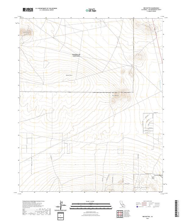
2021 Map of Red Buttes
USGS Topo · Published 2021About this map
The Mojave Desert terrain of San Bernardino County dominates this landscape, characterized by the distinct volcanic profiles of Red Buttes and Haystack Butte. The area showcases a transition from undeveloped desert floor to localized rural infrastructure, particularly evident in the cluster of residential street names near the eastern boundary, such as Maricopa Ave and Cochise. This network of roads indicates a late-twentieth-century push for desert settlement and subdivided development in a region historically defined by mining and ranching.
Find a feature on this map
30 named features on this map. Tap any name to fly to it.
Don’t see what you’re looking for? This feature index may not catch every label — zoom into the map to look around manually.
Map Details
Editions of this 2021 Red Buttes Map
This is the sole edition of this map. No revisions or reprints were ever made.
Other maps of this area

1931 · Adobe
USGS Topo · 1:24,000

1932 · Barstow
USGS Topo · 1:125,000

1934 · Barstow
USGS Topo · 1:125,000

1934 · Adobe
USGS Topo · 1:24,000

1937 · Shadow Mountains
USGS Topo · 1:48,000

1937 · Kramer
USGS Topo · 1:48,000

1942 · Kramer
USGS Topo · 1:62,500

1942 · Shadow Mountains
USGS Topo · 1:62,500

1947 · Kramer
USGS Topo · 1:24,000

1947 · Rich
USGS Topo · 1:24,000