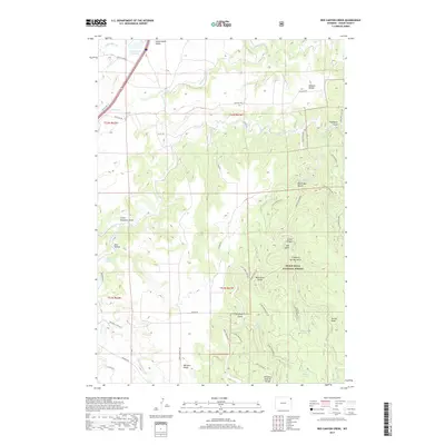
2017 Map of Red Canyon Creek
USGS Topo · Published 2017About this map
Black Hills National Forest defines the eastern half of this landscape, where the terrain breaks into a series of deeply carved drainages and high ridges. The area is marked by significant hydrological features like Rocky Ford Reservoir and the headwaters of Sundance Cr and Red Canyon Cr. These water sources were vital for the early ranching and transit corridors of Crook County, illustrated by the network of historical routes such as Rifle Pit Rd and Old Us Hwy 14 crossing the Riflepit Divide.
Find a feature on this map
52 named features on this map. Tap any name to fly to it.
Don’t see what you’re looking for? This feature index may not catch every label — zoom into the map to look around manually.
Map Details
Editions of this 2017 Red Canyon Creek Map
This is the sole edition of this map. No revisions or reprints were ever made.
Other maps of this area

1898 · Sundance
USGS Topo · 1:125,000

1901 · Aladdin
USGS Topo · 1:125,000

1902 · Sundance
USGS Topo · 1:125,000

1903 · Aladdin
USGS Topo · 1:125,000

1954 · Gillette
USGS Topo · 1:250,000

1955 · Gillette
USGS Topo · 1:250,000

1958 · Gillette
USGS Topo · 1:250,000

1958 · Beulah
USGS Topo · 1:62,500

1958 · Tinton
USGS Topo · 1:62,500

1958 · Sundance
USGS Topo · 1:62,500