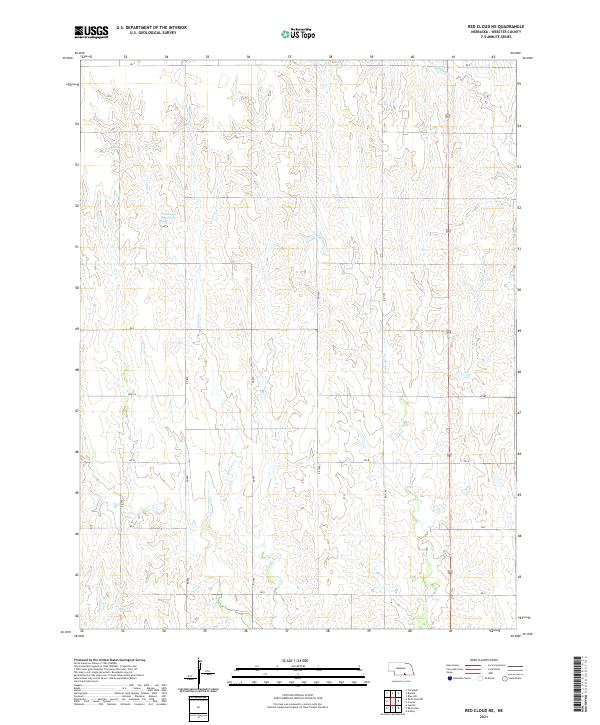
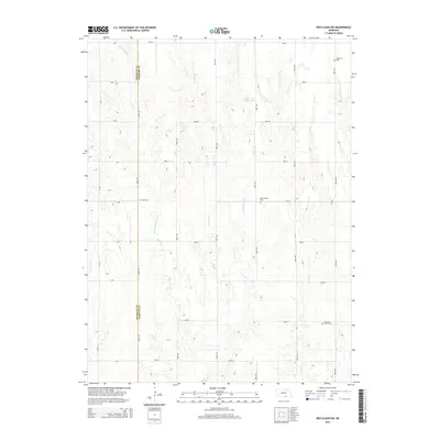
2021 Map of Red Cloud NE
USGS Topo · Published 2021About this map
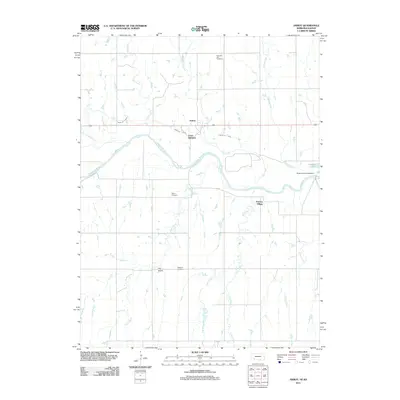
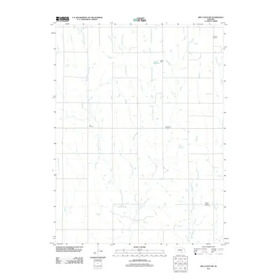
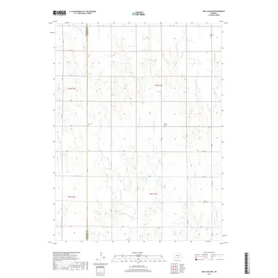
Niemeyer Reservoir anchors the northern landscape of this Webster County region, providing a significant water resource among the rolling drainages of the Republican River basin. The area is defined by a rhythmic series of north-south waterways, including Indian Cr, Crooked Cr, and the W Fork Elm Cr, which carve through the agricultural terrain. This survey reflects a highly organized section-line road network, where routes like RD T, RD N, and RD 1000 facilitate access across the rural townships. The map documents the persistent agricultural character of south-central Nebraska, showing how modern land management and water conservation efforts like the Niemeyer Reservoir integrate with the natural creek systems to support the local farming economy.
Find a feature on this map
19 named features on this map. Tap any name to fly to it.
Don’t see what you’re looking for? This feature index may not catch every label — zoom into the map to look around manually.
Map Details
Editions of this 2021 Red Cloud NE Map
This is the sole edition of this map. No revisions or reprints were ever made.
Historical Maps of Webster County Through Time
20 maps found
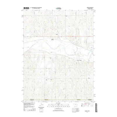
1974 Amboy
Webster County, NE
1974 Guide Rock NE
Webster County, NE
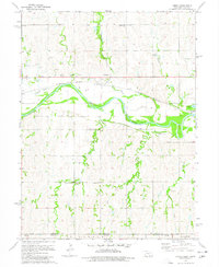
1974 Red Cloud NE
Webster County, NE
1974 Red Cloud NW
Webster County, NE
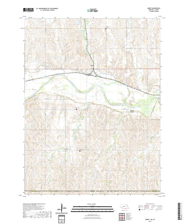
2011 Amboy
Webster County, NE
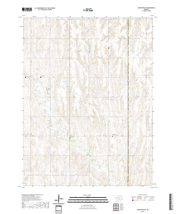
2011 Guide Rock NE
Webster County, NE
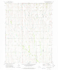
2011 Red Cloud NE
Webster County, NE
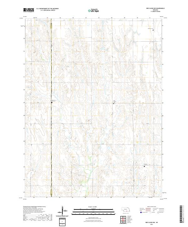
2011 Red Cloud NW
Webster County, NE
2014 Amboy
Webster County, NE
2014 Guide Rock NE
Webster County, NE
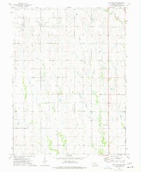
2014 Red Cloud NE
Webster County, NE
2014 Red Cloud NW
Webster County, NE
2017 Amboy
Webster County, NE
2017 Guide Rock NE
Webster County, NE
2017 Red Cloud NE
Webster County, NE
2017 Red Cloud NW
Webster County, NE
2021 Amboy
Webster County, NE
2021 Guide Rock NE
Webster County, NE
2021 Red Cloud NE
Webster County, NE
2021 Red Cloud NW
Webster County, NE