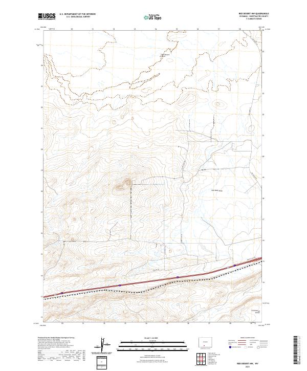
2021 Map of Red Desert NW
USGS Topo · Published 2021About this map
The Continental Divide defines the southern portion of this high-altitude landscape in Sweetwater County, marking the drainage separation in one of Wyoming's most arid regions. The terrain is characterized by the expansive Red Desert Basin, a place where internal drainage patterns and subtle relief dictate the movement of water and the orientation of early travel routes. Sparse human infrastructure is confined to a network of specialized roads including Pipeline Rd, Triad Ranch Rd, and Desert Flats Rd, which likely support the region's energy and ranching interests.
Find a feature on this map
13 named features on this map. Tap any name to fly to it.
Don’t see what you’re looking for? This feature index may not catch every label — zoom into the map to look around manually.
Map Details
Editions of this 2021 Red Desert NW Map
This is the sole edition of this map. No revisions or reprints were ever made.
Other maps of this area

1954 · Rock Springs
USGS Topo · 1:250,000

1958 · Rock Springs
USGS Topo · 1:250,000

1960 · Red Lake
USGS Topo · 1:62,500

1960 · Lost Creek Butte
USGS Topo · 1:62,500

1962 · Rock Springs
USGS Topo · 1:250,000

1970 · Red Desert SW
USGS Topo · 1:24,000
1970 · Red Desert SE
USGS Topo · 1:24,000

1970 · Red Desert NW
USGS Topo · 1:24,000

1970 · J O Dugway
USGS Topo · 1:24,000

1970 · Tipton
USGS Topo · 1:24,000