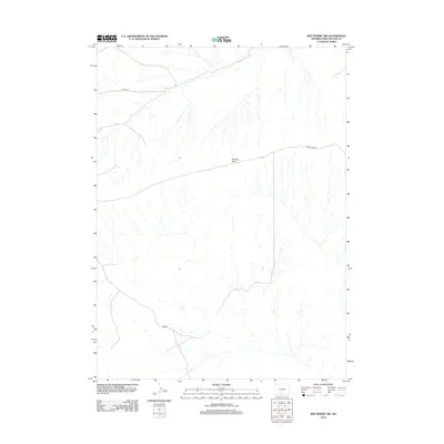
2012 Map of Red Desert SW
USGS Topo · Published 2012About this map
Delaney Rim dominates the central landscape of this section of the Red Desert, serving as a prominent geographical marker in this arid portion of Sweetwater County. The map details a network of unpaved access routes and county roads that navigate the complex drainage patterns of the high desert basin. Primary transit through this remote corridor is facilitated by Road 80 in the southwest and Co Rd-3323 in the northwest, while the Delaney Rim Rd traces the base of the prominent escarpment. The drainage network shown here illustrates the seasonal hydrography characteristic of the region, where numerous unnamed washes and draws flow from the higher elevations of the rim toward the basin floor.
Find a feature on this map
4 named features on this map. Tap any name to fly to it.
Don’t see what you’re looking for? This feature index may not catch every label — zoom into the map to look around manually.
Map Details
Editions of this 2012 Red Desert SW Map
This is the sole edition of this map. No revisions or reprints were ever made.
Other maps of this area

1954 · Rock Springs
USGS Topo · 1:250,000

1958 · Rock Springs
USGS Topo · 1:250,000

1962 · Rock Springs
USGS Topo · 1:250,000

1970 · Red Desert SW
USGS Topo · 1:24,000
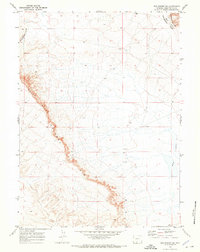
1970 · Red Desert SE
USGS Topo · 1:24,000

1970 · Red Desert NW
USGS Topo · 1:24,000

1970 · J O Dugway
USGS Topo · 1:24,000

1970 · Fort La Clede NE
USGS Topo · 1:24,000

1970 · Tipton
USGS Topo · 1:24,000
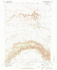
1970 · Haystack Flats
USGS Topo · 1:24,000