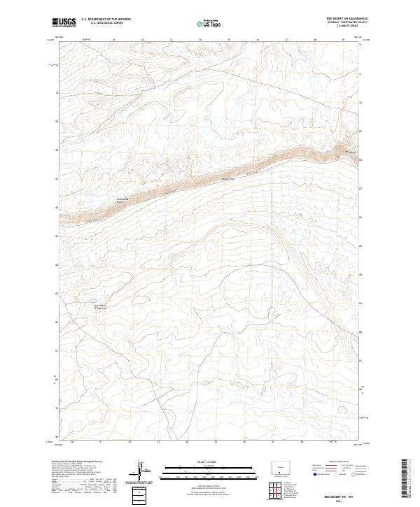
2021 Map of Red Desert SW
USGS Topo · Published 2021About this map
The Continental Divide bisects this high desert landscape in Sweetwater County, marking a fundamental hydrologic boundary across the arid plains of Wyoming. The terrain is defined by dramatic escarpments, most notably the long stretch of the Delaney Rim, which runs roughly west-to-east across the central portion of the sheet. This geographic feature creates a sharp elevation change in an otherwise open expanse, serving as a landmark for navigation and land management.
Find a feature on this map
10 named features on this map. Tap any name to fly to it.
Don’t see what you’re looking for? This feature index may not catch every label — zoom into the map to look around manually.
Map Details
Editions of this 2021 Red Desert SW Map
This is the sole edition of this map. No revisions or reprints were ever made.
Other maps of this area

1954 · Rock Springs
USGS Topo · 1:250,000

1958 · Rock Springs
USGS Topo · 1:250,000

1962 · Rock Springs
USGS Topo · 1:250,000

1970 · Red Desert SW
USGS Topo · 1:24,000
1970 · Red Desert SE
USGS Topo · 1:24,000

1970 · Red Desert NW
USGS Topo · 1:24,000

1970 · J O Dugway
USGS Topo · 1:24,000

1970 · Fort La Clede NE
USGS Topo · 1:24,000

1970 · Tipton
USGS Topo · 1:24,000
1970 · Haystack Flats
USGS Topo · 1:24,000