
1935 Map of Red Fork
USGS Topo · Published 1943About this map
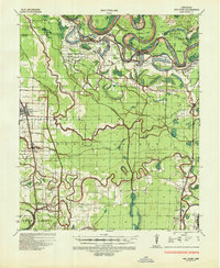
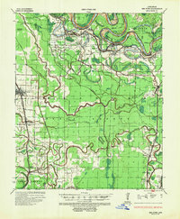
The Arkansas River meanders through the heart of Desha County in this 1930s survey, defined by dramatic loops like Pendleton Bend and Fletcher Bend. The landscape is a complex network of backwaters and seasonal drainage, including Dayton Bayou, Amos Bayou, and Atkins Slough. These waterways dictate the placement of early settlements and agriculture in the Delta.
Find a feature on this map
52 named features on this map. Tap any name to fly to it.
Don’t see what you’re looking for? This feature index may not catch every label — zoom into the map to look around manually.
Map Details
Editions of this 1935 Red Fork Map
3 editions found
Other maps of this area

1933 · Lamont
USGS Topo · 1:62,500

1935 · Cominto
USGS Topo · 1:62,500

1935 · Varner
USGS Topo · 1:62,500

1935 · Rotan
USGS Topo · 1:62,500

1935 · Gillett
USGS Topo · 1:62,500

1936 · McGehee
USGS Topo · 1:62,500

1937 · McGehee
USGS Topo · 1:62,500

1939 · Henrico
USGS Topo · 1:62,500

1939 · Big Island
USGS Topo · 1:62,500

1939 · Lamont
USGS Topo · 1:62,500