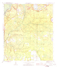
1945 Map of Red Head
USGS Topo · Published 1972About this map
The Choctawhatchee River forms the western boundary of this landscape, where the landing at Rocky Landing and nearby Red Head anchor a rural community transitioning into the interior pinelands. A sparse network of early roads connects the settlement of Ebro to the local graveyard and Ebro Cem, while the Red Head Sch served as a focal point for families in this corner of the Florida Panhandle.
Find a feature on this map
23 named features on this map. Tap any name to fly to it.
Don’t see what you’re looking for? This feature index may not catch every label — zoom into the map to look around manually.
Map Details
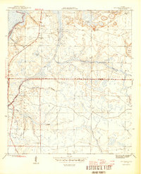
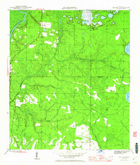
Editions of this 1945 Red Head Map
4 editions found
Other maps of this area

1943 · Seminole Hills
USGS Topo · 1:24,000

1943 · West Bay
USGS Topo · 1:24,000

1943 · Southport
USGS Topo · 1:24,000

1944 · Southport
USGS Topo · 1:24,000

1944 · Seminole Hills
USGS Topo · 1:31,680

1944 · West Bay
USGS Topo · 1:31,680

1944 · Crystal Lake
USGS Topo · 1:24,000

1944 · Bruce
USGS Topo · 1:24,000

1945 · Red Head
USGS Topo · 1:31,680

1945 · Bruce
USGS Topo · 1:31,680