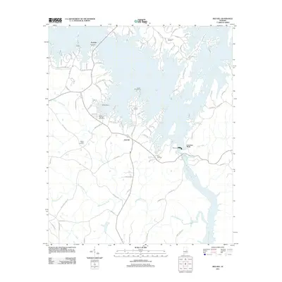
2011 Map of Red Hill
USGS Topo · Published 2011About this map
Martin Lake dominates this Elmore County landscape, where the waters of the Tallapoosa River are held back by the massive Martin Dam. This 2011 survey reveals a shoreline heavily shaped by recreation and memory, featuring settlements like Red Hill and Kowaliga, alongside numerous family and community landmarks. The topography transitions from the flooded valleys of the reservoir to the high points of Cherokee Bluffs and Bear Bryant Pt.
Find a feature on this map
96 named features on this map. Tap any name to fly to it.
Don’t see what you’re looking for? This feature index may not catch every label — zoom into the map to look around manually.
Map Details
Editions of this 2011 Red Hill Map
This is the sole edition of this map. No revisions or reprints were ever made.
Other maps of this area

1901 · Wetumpka
USGS Topo · 1:125,000

1901 · Wetumpka
USGS Topo · 1:62,500

1903 · Wetumpka
USGS Topo · 1:125,000

1906 · Dadeville
USGS Topo · 1:125,000

1953 · Montgomery
USGS Topo · 1:250,000

1955 · Phenix City
USGS Topo · 1:250,000

1956 · Montgomery
USGS Topo · 1:250,000

1957 · Phenix City
USGS Topo · 1:250,000

1957 · Montgomery
USGS Topo · 1:250,000

1958 · Phenix City
USGS Topo · 1:250,000