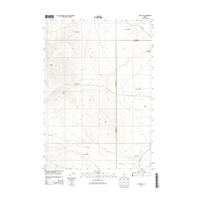
2013 Map of Red Hills
USGS Topo · Published 2013About this map
The Little Lost River Valley transitions into high-altitude terrain along the border of Custer and Butte counties in this 2013 survey. Notable peaks including Taylor Mtn and the Donkey Hills dominate the western half of the landscape, where seasonal watercourses like Barney Cr and Dry Cr carve through the steep elevations. The presence of Camp Springs and Mud Spring suggests vital water sources in an otherwise arid highland environment.
Find a feature on this map
22 named features on this map. Tap any name to fly to it.
Don’t see what you’re looking for? This feature index may not catch every label — zoom into the map to look around manually.
Map Details
Editions of this 2013 Red Hills Map
This is the sole edition of this map. No revisions or reprints were ever made.
Other maps of this area

1935 · Borah Peak
USGS Topo · 1:125,000

1938 · Borah Peak
USGS Topo · 1:125,000

1955 · Dubois
USGS Topo · 1:250,000

1956 · Donkey Hills
USGS Topo · 1:62,500

1957 · Gilmore
USGS Topo · 1:62,500

1957 · Hawley Mountain
USGS Topo · 1:62,500

1958 · Dubois
USGS Topo · 1:250,000
1967 · Massacre Mtn
USGS Topo · 1:24,000
1967 · Short Creek
USGS Topo · 1:24,000
1987 · Mulkey Bar
USGS Topo · 1:24,000