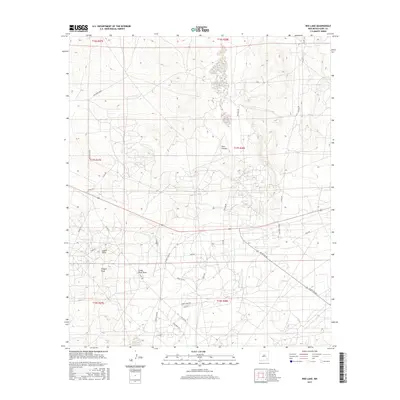
2017 Map of Red Lake
USGS Topo · Published 2017About this map
Hart Canyon dominates the central portion of this 2017 terrain study, reflecting a landscape defined by the drainage patterns of the northern Chihuahuan Desert. The map reveals an intricate network of local roads and named paths such as Illinois Camp Rd and Turkey Track Rd, which likely serve the petroleum and ranching interests characteristic of Eddy County. Natural features including Logan Draw, Scoggin Draw, and Chalk Bluff Draw trace the path of water through the arid environment toward the Pecos River basin. To the west, the Southern Union corridor provides a glimpse into the regional industrial infrastructure that has shaped the area's development. This survey serves as a modern baseline for researchers examining the evolving land use and transportation networks in southeastern New Mexico.
Find a feature on this map
30 named features on this map. Tap any name to fly to it.
Don’t see what you’re looking for? This feature index may not catch every label — zoom into the map to look around manually.
Map Details
Editions of this 2017 Red Lake Map
This is the sole edition of this map. No revisions or reprints were ever made.
Other maps of this area

1943 · Oil City
USGS Topo · 1:62,500

1951 · Diamond Mound
USGS Topo · 1:24,000

1953 · Basin Well
USGS Topo · 1:24,000

1954 · Carlsbad
USGS Topo · 1:250,000

1955 · Artesia NE
USGS Topo · 1:24,000

1955 · Spring Lake
USGS Topo · 1:24,000

1955 · Red Lake SE
USGS Topo · 1:24,000

1955 · Lake Mc Millan North
USGS Topo · 1:24,000

1955 · Red Lake
USGS Topo · 1:24,000

1958 · Carlsbad
USGS Topo · 1:250,000