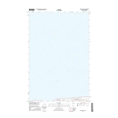
2016 Map of Red Lake OE N
USGS Topo · Published 2016About this map
Lower Red Lake dominates this northern Minnesota landscape, where the vast water body meets the southern shoreline in the Red Lake Indian Reservation. The map focuses on the ribbon of development along the lake’s edge, including the primary community of Red Lake and the smaller settlement of Little Rock. These residential and civic clusters are connected by Hospital Rd as it skirts the shoreline. Local history and genealogy interest is concentrated in several sites, most notably the Red Lake Cem located near the water. The topography is largely defined by the water’s edge and the projection of Little Rock Point into the lake, illustrating the traditional settlement patterns of the region where habitation follows the natural curve of the shoreline.
Find a feature on this map
7 named features on this map. Tap any name to fly to it.
Don’t see what you’re looking for? This feature index may not catch every label — zoom into the map to look around manually.
Map Details
Editions of this 2016 Red Lake OE N Map
This is the sole edition of this map. No revisions or reprints were ever made.
Other maps of this area

1919 · Ponemah
USGS Topo · 1:62,500

1943 · Ponemah
USGS Topo · 1:62,500

1954 · Bemidji
USGS Topo · 1:250,000

1954 · Roseau
USGS Topo · 1:250,000

1957 · Roseau
USGS Topo · 1:250,000

1957 · Bemidji
USGS Topo · 1:250,000

1958 · Bemidji
USGS Topo · 1:250,000

1958 · Roseau
USGS Topo · 1:250,000

1972 · Bagley Lake
USGS Topo · 1:24,000

1972 · Redby
USGS Topo · 1:24,000