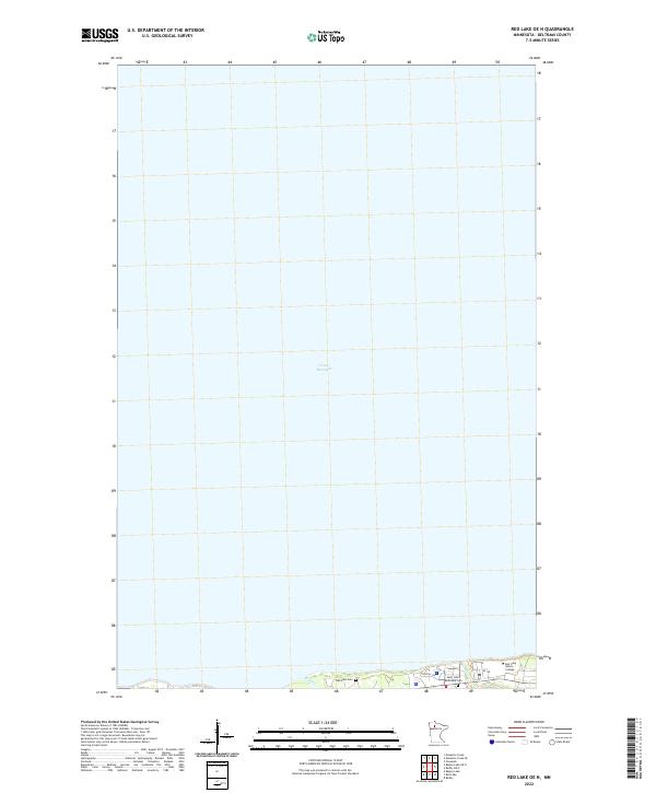
2022 Map of Red Lake OE N
USGS Topo · Published 2022About this map
Lower Red Lake dominates this northern Minnesota landscape, where the vast expanse of water meets a narrow strip of developed shoreline within the Red Lake Reservation. This modern survey illustrates the essential community infrastructure concentrated along the southern edge of the quadrangle, including the Red Lake Nation College and local medical access via Hospital Rd. For genealogists and local historians, the presence of both the Red Lake Cem and Saint Johns Episcopal Cem provides specific points of interest for family research. The terrain is characterized by low-lying wetlands and subtle coastal features like the area labeled Point, while the mouth of Pike Cr marks a notable break in the shoreline's edge.
Find a feature on this map
11 named features on this map. Tap any name to fly to it.
Don’t see what you’re looking for? This feature index may not catch every label — zoom into the map to look around manually.
Map Details
Editions of this 2022 Red Lake OE N Map
This is the sole edition of this map. No revisions or reprints were ever made.
Other maps of this area

1919 · Ponemah
USGS Topo · 1:62,500

1943 · Ponemah
USGS Topo · 1:62,500

1954 · Bemidji
USGS Topo · 1:250,000

1954 · Roseau
USGS Topo · 1:250,000

1957 · Roseau
USGS Topo · 1:250,000

1957 · Bemidji
USGS Topo · 1:250,000

1958 · Bemidji
USGS Topo · 1:250,000

1958 · Roseau
USGS Topo · 1:250,000

1972 · Bagley Lake
USGS Topo · 1:24,000

1972 · Redby
USGS Topo · 1:24,000