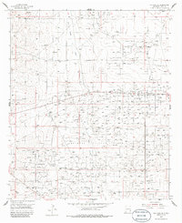
1955 Map of Red Lake SE
USGS Topo · Published 1986About this map
Industrial expansion in the Permian Basin defines this mid-century landscape, where the Greyburg Maljamar Oil Field and the Anderson Oil Field dominate the terrain. Surveyed in the mid-1950s, the map reveals an intensive network of energy infrastructure, including an extensive Pipeline system and the centralized Loco Hills Gasoline Plant. This area of Eddy County is a patchwork of production, with the Forrest Oil Field and High Lonesome Oil Field showing the density of drilling operations during this era.
Find a feature on this map
10 named features on this map. Tap any name to fly to it.
Don’t see what you’re looking for? This feature index may not catch every label — zoom into the map to look around manually.
Map Details
Editions of this 1955 Red Lake SE Map
2 editions found
Other maps of this area

1942 · Clayton Basin
USGS Topo · 1:62,500

1943 · Clayton Basin
USGS Topo · 1:62,500

1943 · Oil City
USGS Topo · 1:62,500

1951 · Diamond Mound
USGS Topo · 1:24,000

1953 · Basin Well
USGS Topo · 1:24,000

1954 · Carlsbad
USGS Topo · 1:250,000

1954 · Hobbs
USGS Topo · 1:250,000

1955 · Red Lake SE
USGS Topo · 1:24,000

1955 · Red Lake
USGS Topo · 1:24,000

1958 · Carlsbad
USGS Topo · 1:250,000