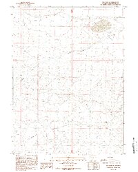
1988 Map of Red Lake SW
USGS Topo · Published 1989About this map
Red Desert Basin topography dominates this 1980s provisional study, revealing a landscape defined by seasonal water and energy exploration. The northern section is marked by Red Lake and the drainage of Black Rock Creek, which cuts through the arid high-desert terrain. Evidence of mid-century industrial activity is scattered across the township lines, including a prominent Gas Well and several exploration sites marked as DH or Drill Hole.
Find a feature on this map
13 named features on this map. Tap any name to fly to it.
Don’t see what you’re looking for? This feature index may not catch every label — zoom into the map to look around manually.
Map Details
Editions of this 1988 Red Lake SW Map
This is the sole edition of this map. No revisions or reprints were ever made.
Other maps of this area

1954 · Rock Springs
USGS Topo · 1:250,000

1958 · Rock Springs
USGS Topo · 1:250,000

1958 · Twelvemile Well
USGS Topo · 1:62,500

1960 · Red Lake
USGS Topo · 1:62,500

1962 · Rock Springs
USGS Topo · 1:250,000

1968 · Bitter Creek NE
USGS Topo · 1:24,000

1970 · Tipton
USGS Topo · 1:24,000
1970 · Desert Springs
USGS Topo · 1:24,000
1980 · Red Desert Basin
USGS Topo · 1:100,000
1986 · Black Rock Flat East
USGS Topo · 1:24,000