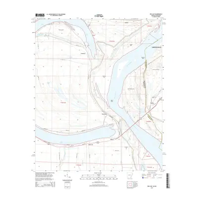
2014 Map of Red Leaf
USGS Topo · Published 2014About this map
The Mississippi River defines the border between Arkansas and Mississippi in this region, where the shifting river channel has created a complex landscape of chutes and bars. Island Number 84, Leland Bar, and Vaucluse Bar illustrate the dynamic nature of the waterway, while Lake Chicot remains as a prominent oxbow lake to the west. On the Arkansas side, small agricultural settlements like Sunnyside, Red Leaf, and Vaucluse are linked by Sunnyside Rd and Lakehall Rd, which follow the higher ground of the natural levees. Local heritage is preserved at sites like Old Lakeport Cem and Red Leaf Cem. Across the river in Mississippi, the city of Greenville stands near Warfield Point, with the settlement of Refuge situated behind the modern levee system that protects the lowlands near Beaver Lake.
Find a feature on this map
63 named features on this map. Tap any name to fly to it.
Don’t see what you’re looking for? This feature index may not catch every label — zoom into the map to look around manually.
Map Details
Editions of this 2014 Red Leaf Map
This is the sole edition of this map. No revisions or reprints were ever made.
Other maps of this area

1936 · Eudora
USGS Topo · 1:62,500

1936 · Lake Village
USGS Topo · 1:62,500

1939 · Readland
USGS Topo · 1:62,500

1939 · Refuge
USGS Topo · 1:62,500

1953 · Greenwood
USGS Topo · 1:250,000

1955 · Lake Village
USGS Topo · 1:62,500

1956 · Greenwood
USGS Topo · 1:250,000

1957 · Eudora
USGS Topo · 1:62,500
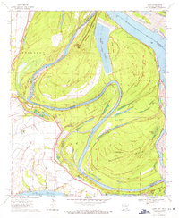
1970 · Luna
USGS Topo · 1:24,000
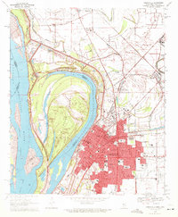
1970 · Greenville
USGS Topo · 1:24,000