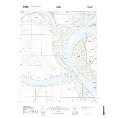
2020 Map of Red Leaf
USGS Topo · Published 2020About this map
Lake Chicot and the Mississippi River define this riverine landscape at the border of Arkansas and Mississippi. The area is marked by the shifting path of the river, which has created numerous geographic features such as Walker Bend, Vaucluse Bar, and Stuart Island. Small settlements and landing points like Vaucluse, Sunnyside, and Red Leaf are linked by Levee Rd, which traces the high ground along the river's edge. For genealogists and local historians, several burial sites are documented across the landscape, including Old Refuge Cem and the Old Lakeport Cem near the riverbank. The complex drainage network of the Mississippi floodplain is visible through features like Ditch Bayou, Weaver Bayou, and Whiskey Chute, illustrating the hydrological management required in this low-lying delta region.
Find a feature on this map
56 named features on this map. Tap any name to fly to it.
Don’t see what you’re looking for? This feature index may not catch every label — zoom into the map to look around manually.
Map Details
Editions of this 2020 Red Leaf Map
This is the sole edition of this map. No revisions or reprints were ever made.
Other maps of this area

1936 · Eudora
USGS Topo · 1:62,500

1936 · Lake Village
USGS Topo · 1:62,500

1939 · Readland
USGS Topo · 1:62,500

1939 · Refuge
USGS Topo · 1:62,500

1953 · Greenwood
USGS Topo · 1:250,000

1955 · Lake Village
USGS Topo · 1:62,500

1956 · Greenwood
USGS Topo · 1:250,000

1957 · Eudora
USGS Topo · 1:62,500
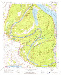
1970 · Luna
USGS Topo · 1:24,000
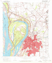
1970 · Greenville
USGS Topo · 1:24,000