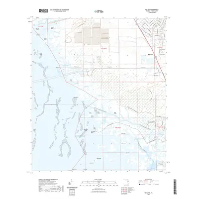
2021 Map of Red Level
USGS Topo · Published 2021About this map
The Gulf of Mexico coast of Citrus County meets a complex network of marshes, islands, and modern infrastructure in this 2021 study. The northern portion of the map is dominated by the Cross Florida Barge Canal and the Cross Florida Greenway Trl, representing a significant mid-century engineering project that has since transitioned into a recreational corridor. The settlement of Red Level sits at the junction of N Suncoast Blvd and W Dunnellon Rd, while further south, the city of Crystal River borders the labyrinthine wetlands of the Crystal River Preserve State Park Trl.
Find a feature on this map
93 named features on this map. Tap any name to fly to it.
Don’t see what you’re looking for? This feature index may not catch every label — zoom into the map to look around manually.
Map Details
Editions of this 2021 Red Level Map
This is the sole edition of this map. No revisions or reprints were ever made.
Other maps of this area

1954 · Homosassa
USGS Topo · 1:24,000

1954 · Crystal River
USGS Topo · 1:24,000

1954 · Red Level
USGS Topo · 1:24,000

1954 · Yankeetown SE
USGS Topo · 1:24,000

1954 · Ozello
USGS Topo · 1:24,000

1954 · Gainesville
USGS Topo · 1:250,000

1955 · Withlacoochee Bay
USGS Topo · 1:24,000

1955 · Yankeetown
USGS Topo · 1:24,000

1955 · Plant City
USGS Topo · 1:250,000

1958 · Plant City
USGS Topo · 1:250,000