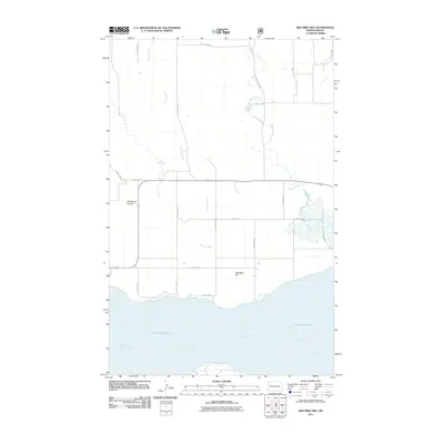
2011 Map of Red Mike Hill
USGS Topo · Published 2011About this map
Lake Sakakawea and the Missouri River dominate the southern margin of this Williams County landscape, defining the local topography and drainage patterns. The high ground is marked by Red Mike Hill and the distinctive indentation of Half Breed Coulee, while a series of watercourses including Thorsen Creek, Beaver Creek, and Nelson Creek carve through the prairie towards the reservoir. The survey illustrates a rigid section-line road network, primarily composed of routes like 112th Ave NW and 54th St NW, which dictate the movement across this sparsely populated region. This 2011 rendering shows the relationship between the modern shoreline of the massive reservoir and the original river channel, providing a clear view of the water-governed geography of western North Dakota.
Find a feature on this map
21 named features on this map. Tap any name to fly to it.
Don’t see what you’re looking for? This feature index may not catch every label — zoom into the map to look around manually.
Map Details
Editions of this 2011 Red Mike Hill Map
This is the sole edition of this map. No revisions or reprints were ever made.
Other maps of this area

1911 · Ray
USGS Topo · 1:125,000

1953 · Williston
USGS Topo · 1:250,000

1957 · Williston
USGS Topo · 1:250,000

1965 · Charlson SW
USGS Topo · 1:24,000

1965 · Charlson NW
USGS Topo · 1:24,000

1969 · Cussicks Spring
USGS Topo · 1:24,000

1969 · Red Mike Hill
USGS Topo · 1:24,000

1978 · Ray
USGS Topo · 1:24,000

1978 · Tobacco Garden Bay
USGS Topo · 1:24,000

1978 · Ray SE
USGS Topo · 1:24,000