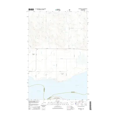
2014 Map of Red Mike Hill
USGS Topo · Published 2014About this map
Lake Sakakawea dominates the southern reaches of this landscape, its waters meeting the rugged breaks along the Williams and McKenzie County line. The terrain is defined by dramatic elevation changes, rising from the shoreline toward the summit of Red Mike Hill. A network of section-line roads, such as 54th St NW and 110th Ave NW, provides access to this prairie interior, which is dissected by drainages including Half Breed Coulee and Beaver Cr. Part of the Little Missouri National Grassland extends across the lake's southern shore, preserving the character of the western North Dakota badlands. This 2014 survey captures the intersection of high-plains agriculture and the vast Missouri River reservoir system, showing a sparsely settled region shaped by its water resources and varied topography.
Find a feature on this map
21 named features on this map. Tap any name to fly to it.
Don’t see what you’re looking for? This feature index may not catch every label — zoom into the map to look around manually.
Map Details
Editions of this 2014 Red Mike Hill Map
This is the sole edition of this map. No revisions or reprints were ever made.
Other maps of this area

1911 · Ray
USGS Topo · 1:125,000

1953 · Williston
USGS Topo · 1:250,000

1957 · Williston
USGS Topo · 1:250,000

1965 · Charlson SW
USGS Topo · 1:24,000

1965 · Charlson NW
USGS Topo · 1:24,000

1969 · Cussicks Spring
USGS Topo · 1:24,000

1969 · Red Mike Hill
USGS Topo · 1:24,000

1978 · Ray
USGS Topo · 1:24,000

1978 · Tobacco Garden Bay
USGS Topo · 1:24,000

1978 · Ray SE
USGS Topo · 1:24,000