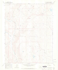
1967 Map of Red Mountain
USGS Topo · Published 1969About this map
Rio Grande National Forest dominates this high-elevation landscape, where the Conejos River and its numerous tributaries carve through the Colorado mountains. In the mid-1960s, this area served as active working land for ranching and recreation, evidenced by the presence of Lake Fork Ranch and the Jim Creek Cow Camp. The map documents a complex network of seasonal transport, including the Hot Creek Stock Driveway and various Pack Trails, which were essential for moving livestock through the high country. High peaks like Red Mountain and Willow Mountain overlook numerous alpine water bodies such as Acascosa Lake and Empedrado Lake. These features, along with several locations labeled Prospect, suggest a history of exploration and resource management in the rugged terrain between California Gulch and the La Jara Meadows.
Find a feature on this map
36 named features on this map. Tap any name to fly to it.
Don’t see what you’re looking for? This feature index may not catch every label — zoom into the map to look around manually.
Map Details
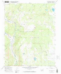
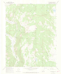
Editions of this 1967 Red Mountain Map
3 editions found
Other maps of this area

1913 · Summitville
USGS Topo · 1:125,000

1915 · Summitville
USGS Topo · 1:125,000

1922 · Conejos
USGS Topo · 1:125,000

1945 · Durango
USGS Topo · 1:250,000

1953 · Durango
USGS Topo · 1:250,000

1954 · Durango
USGS Topo · 1:250,000

1957 · Chama Peak
USGS Topo · 1:62,500

1961 · Durango
USGS Topo · 1:250,000

1963 · Durango
USGS Topo · 1:250,000

1966 · Durango
USGS Topo · 1:250,000