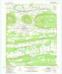
1979 Map of Red Oak
USGS Topo · Published 1986About this map
Red Oak serves as the focal point of this Latimer County landscape, situated along the Chicago Rock Island and Pacific railroad line. The settlement is surrounded by a series of prominent topographical features, including Red Oak Mountain and its summit at Red Oak Peak. The topography is defined by parallel east-west ridges such as Little Ridge, Saonia Ridge, and the Craveen Limestone Ridge, which separate the various creek valleys.
Find a feature on this map
31 named features on this map. Tap any name to fly to it.
Don’t see what you’re looking for? This feature index may not catch every label — zoom into the map to look around manually.
Map Details
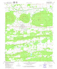
Editions of this 1979 Red Oak Map
2 editions found
Other maps of this area

1900 · Sansbois
USGS Topo · 1:125,000

1900 · Sallisaw
USGS Topo · 1:125,000

1900 · Winding Stair
USGS Topo · 1:125,000

1901 · Tuskahoma
USGS Topo · 1:125,000

1908 · Tuskahoma
USGS Topo · 1:125,000

1909 · Tuskahoma
USGS Topo · 1:125,000

1909 · Winding Stair
USGS Topo · 1:125,000

1909 · Sans Bois
USGS Topo · 1:125,000

1911 · Sallisaw
USGS Topo · 1:125,000

1911 · Sansbois
USGS Topo · 1:125,000