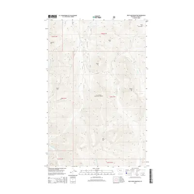
2014 Map of Red Plume Mountain
USGS Topo · Published 2014About this map
Red Plume Mtn and the surrounding peaks of the Lewis and Clark Range dominate this portion of the Flathead National Forest. This high-altitude landscape is defined by a dense network of mountain drainages, where Morrison Cr, Granite Cr, and Challenge Cr carve through the steep topography. In the southwest corner, the Middle Fork Flathead River serves as a primary geographical boundary, while Skyland Rd provides limited access into the interior of the forest near Square Mtn.
Find a feature on this map
29 named features on this map. Tap any name to fly to it.
Don’t see what you’re looking for? This feature index may not catch every label — zoom into the map to look around manually.
Map Details
Editions of this 2014 Red Plume Mountain Map
This is the sole edition of this map. No revisions or reprints were ever made.
Other maps of this area

1913 · Marias Pass
USGS Topo · 1:125,000

1958 · Red Plume Mountain
USGS Topo · 1:24,000

1958 · Gable Peaks
USGS Topo · 1:24,000

1958 · Capitol Mountain
USGS Topo · 1:24,000

1958 · Crescent Cliff
USGS Topo · 1:24,000

1958 · Mount Bradley
USGS Topo · 1:24,000

1958 · Horseshoe Peak
USGS Topo · 1:24,000

1960 · Cut Bank
USGS Topo · 1:250,000

1963 · Cut Bank
USGS Topo · 1:250,000

1964 · Cut Bank
USGS Topo · 1:250,000