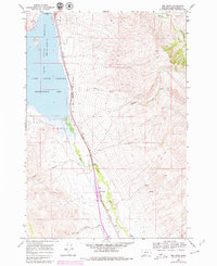
1965 Map of Red Rock
USGS Topo · Published 1979About this map
Clark Canyon Dam stands as the primary engineering feature of this high-plains landscape, holding back the waters of the Clark Canyon Reservoir along the western edge of the quadrangle. The Union Pacific railroad tracks trace the narrow corridor between the eastern hills and the reservoir's shoreline, following a route that mirrors the course of the Red Rock River to the south. This corridor serves as the lifeline for the small settlement at Red Rock, where industrial activity is indicated by several Gravel Pits nearby.
Find a feature on this map
29 named features on this map. Tap any name to fly to it.
Don’t see what you’re looking for? This feature index may not catch every label — zoom into the map to look around manually.
Map Details
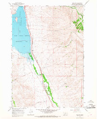
Editions of this 1965 Red Rock Map
2 editions found
Other maps of this area

1893 · Dillon
USGS Topo · 1:250,000

1952 · Eli Spring
USGS Topo · 1:24,000

1952 · Dalys
USGS Topo · 1:24,000

1952 · Gallagher Mountain
USGS Topo · 1:24,000

1955 · Dubois
USGS Topo · 1:250,000

1955 · Dillon
USGS Topo · 1:250,000

1957 · Dillon
USGS Topo · 1:250,000

1958 · Dubois
USGS Topo · 1:250,000

1958 · Dillon
USGS Topo · 1:250,000

1962 · Dillon
USGS Topo · 1:250,000