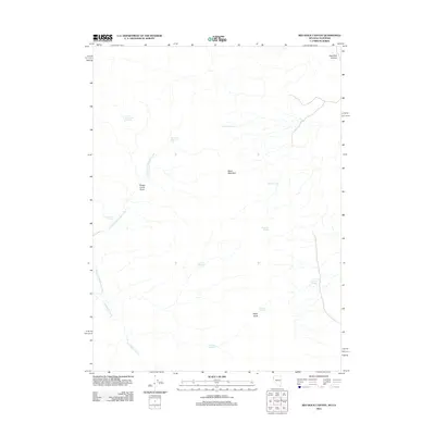
2011 Map of Red Rock Canyon
USGS Topo · Published 2011About this map
Mustang Spring and Rosebud Spring define the hydrological character of this high-desert landscape in Washoe County, where water sources were historically vital for land use. The terrain is marked by significant elevations like Black Mountain and Eagle Head, which overlook a network of seasonal drainages and man-made water management features. Ranching and land management legacies are evident in the naming of catchments such as Sheep Camp Draw Reservoir and Rocky Trail Reservoir, which capture runoff from Sheep Camp Draw. The drainage of Skedaddle Creek and its East Fork provide a focal point for the western portion of the quadrangle, while Red Rock Canyon borders the northeastern corner. This 2011 survey documents a remote area where natural springs like Willow Springs and Buck Corral Spring remain the primary landmarks across the arid expanse.
Find a feature on this map
16 named features on this map. Tap any name to fly to it.
Don’t see what you’re looking for? This feature index may not catch every label — zoom into the map to look around manually.
Map Details
Editions of this 2011 Red Rock Canyon Map
This is the sole edition of this map. No revisions or reprints were ever made.
Other maps of this area

1886 · Honey Lake
USGS Topo · 1:250,000

1886 · Granite Range
USGS Topo · 1:250,000

1891 · Honey Lake
USGS Topo · 1:250,000

1893 · Honey Lake
USGS Topo · 1:250,000

1894 · Granite Range
USGS Topo · 1:250,000

1954 · Wendel
USGS Topo · 1:62,500

1954 · Shinn Mountain
USGS Topo · 1:62,500

1955 · Westwood
USGS Topo · 1:250,000

1955 · Lovelock
USGS Topo · 1:250,000

1958 · Westwood
USGS Topo · 1:250,000