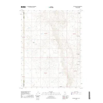
2018 Map of Red Rock Canyon
USGS Topo · Published 2018About this map
Smoke Creek Mountains dominate the southern reach of this landscape along the border of Nevada and California. The high-desert terrain is defined by its critical water sources, including numerous isolated springs like Buck Corral Spring, Mustang Spring, and Rosebud Spring. This network of watering points suggests a history of livestock management in an arid environment, further evidenced by several catchment sites such as Sheep Camp Draw Reservoir and Willow Reservoir. In the east, the Sand Range and Eagle Head rise above Dry Lake Reservoir, while the northern edge is marked by the eponymous Red Rock Canyon. The map records the intricate drainage patterns of the E Fork Skedaddle Cr and Skedaddle Cr, illustrating how the desert hydrology dictates the placement of landmarks like Black Mtn.
Find a feature on this map
28 named features on this map. Tap any name to fly to it.
Don’t see what you’re looking for? This feature index may not catch every label — zoom into the map to look around manually.
Map Details
Editions of this 2018 Red Rock Canyon Map
This is the sole edition of this map. No revisions or reprints were ever made.
Other maps of this area

1886 · Honey Lake
USGS Topo · 1:250,000

1886 · Granite Range
USGS Topo · 1:250,000

1891 · Honey Lake
USGS Topo · 1:250,000

1893 · Honey Lake
USGS Topo · 1:250,000

1894 · Granite Range
USGS Topo · 1:250,000

1954 · Wendel
USGS Topo · 1:62,500

1954 · Shinn Mountain
USGS Topo · 1:62,500

1955 · Westwood
USGS Topo · 1:250,000

1955 · Lovelock
USGS Topo · 1:250,000

1958 · Westwood
USGS Topo · 1:250,000