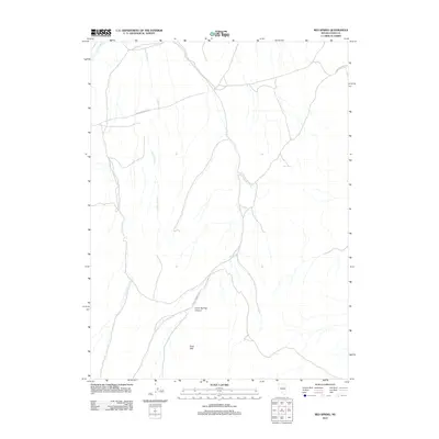
2012 Map of Red Spring
USGS Topo · Published 2012About this map
Dixie Hills define the high country of this Elko County landscape, where water and transit have long dictated the movement through the Great Basin. In the northeast, the Hamilton Stage Rd cuts across the terrain, following a historical corridor of travel through these arid uplands. The drainage system is dominated by the seasonal flows of Dixie Creek and Crane Stream, with the latter carving out the prominent Crane Springs Canyon (also labeled on this sheet as Crane Springs Cyn). These watercourses and the namesake Red Spring represent vital points of interest for understanding the ranching and migratory history of the region. This 2012 survey provides a precise look at these topographic features and primitive roads before further modern development altered the land.
Find a feature on this map
7 named features on this map. Tap any name to fly to it.
Don’t see what you’re looking for? This feature index may not catch every label — zoom into the map to look around manually.
Map Details
Editions of this 2012 Red Spring Map
This is the sole edition of this map. No revisions or reprints were ever made.
Other maps of this area

1934 · Jiggs
USGS Topo · 1:125,000

1937 · Jiggs
USGS Topo · 1:125,000

1952 · Dixie Flats
USGS Topo · 1:62,500

1955 · Elko
USGS Topo · 1:250,000

1956 · Robinson Mtn
USGS Topo · 1:62,500

1958 · Elko
USGS Topo · 1:250,000

1959 · Jiggs
USGS Topo · 1:62,500

1962 · Elko
USGS Topo · 1:250,000

1962 · Lee
USGS Topo · 1:62,500

1965 · Elko
USGS Topo · 1:250,000