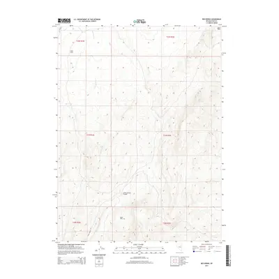
2014 Map of Red Spring
USGS Topo · Published 2014About this map
Dixie Hills and the adjacent Dixie Flats dominate this landscape in eastern Nevada, where water remains the primary driver of geography and travel. The topography is defined by the significant drainage of Crane Stream as it flows through the terrain, eventually winding into Crane Springs Canyon. This 2014 survey documents a classic Great Basin environment where named water sources like Red Spring and Dixie Cr are critical landmarks. Human presence is light, represented primarily by the route of Cr 720 cutting through the northwestern corner. The map provides a clear picture of the Public Land Survey System grid across Elko County, marking the boundaries of Townships 30 through 32 North and Ranges 54 to 55 East, which remain fundamental for property and land management research in this part of the state.
Find a feature on this map
14 named features on this map. Tap any name to fly to it.
Don’t see what you’re looking for? This feature index may not catch every label — zoom into the map to look around manually.
Map Details
Editions of this 2014 Red Spring Map
This is the sole edition of this map. No revisions or reprints were ever made.
Other maps of this area

1934 · Jiggs
USGS Topo · 1:125,000

1937 · Jiggs
USGS Topo · 1:125,000

1952 · Dixie Flats
USGS Topo · 1:62,500

1955 · Elko
USGS Topo · 1:250,000

1956 · Robinson Mtn
USGS Topo · 1:62,500

1958 · Elko
USGS Topo · 1:250,000

1959 · Jiggs
USGS Topo · 1:62,500

1962 · Elko
USGS Topo · 1:250,000

1962 · Lee
USGS Topo · 1:62,500

1965 · Elko
USGS Topo · 1:250,000