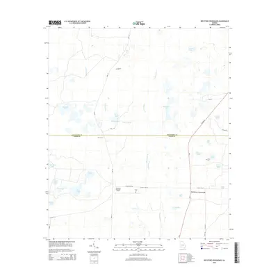
2014 Map of Red Store Crossroads
USGS Topo · Published 2014About this map
Red Store Crossroads is the namesake junction of this South Georgia landscape, where Ga 91 meets Colquitt Ford Rd. The area is defined by a complex network of wetlands and ponds, including Big Cypress Lake and the descriptive Baptizing Pond, which drain into Cooleewahee Cr and Alligator Cr. This mosaic of water and land supports established agriculture and the Pinebloom Plantation Airport.
Find a feature on this map
40 named features on this map. Tap any name to fly to it.
Don’t see what you’re looking for? This feature index may not catch every label — zoom into the map to look around manually.
Map Details
Editions of this 2014 Red Store Crossroads Map
This is the sole edition of this map. No revisions or reprints were ever made.
Other maps of this area

1953 · Dothan
USGS Topo · 1:250,000

1954 · Dothan
USGS Topo · 1:250,000

1955 · Dothan
USGS Topo · 1:250,000

1956 · Albany West
USGS Topo · 1:24,000

1956 · Baconton
USGS Topo · 1:62,500

1956 · Newton
USGS Topo · 1:62,500

1956 · Sasser
USGS Topo · 1:62,500

1956 · Albany
USGS Topo · 1:62,500

1973 · Pretoria
USGS Topo · 1:24,000
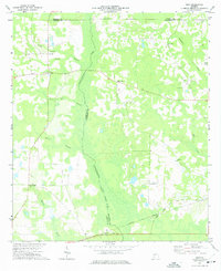
1973 · Holt
USGS Topo · 1:24,000