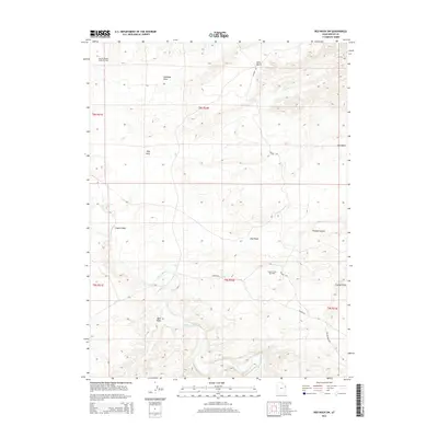
2014 Map of Red Wash SW
USGS Topo · Published 2014About this map
The White River carves a winding path through this corner of the Uintah Basin, defining a landscape marked by both intricate geological formations and heavy industrial development. This 2014 survey captures the significant energy infrastructure of the region, anchored by the Wonsits-Wonsits Valley Oil Field and the Chapita Wells Gas Field. These industrial sites are interspersed with distinctive terrain features like the uniquely named Fantasy Canyon and Ship Rock.
Find a feature on this map
20 named features on this map. Tap any name to fly to it.
Don’t see what you’re looking for? This feature index may not catch every label — zoom into the map to look around manually.
Map Details
Editions of this 2014 Red Wash SW Map
This is the sole edition of this map. No revisions or reprints were ever made.
Other maps of this area

1885 · East Tavaputs
USGS Topo · 1:250,000

1885 · Ashley
USGS Topo · 1:250,000

1907 · Jensen
USGS Topo · 1:125,000

1910 · Jensen
USGS Topo · 1:125,000

1917 · Vernal
USGS Topo · 1:125,000

1954 · Vernal
USGS Topo · 1:250,000

1956 · Grand Junction
USGS Topo · 1:250,000

1958 · Vernal
USGS Topo · 1:250,000

1959 · Grand Junction
USGS Topo · 1:250,000

1960 · Vernal
USGS Topo · 1:250,000