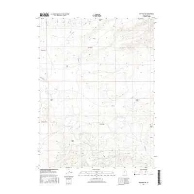
2017 Map of Red Wash SW
USGS Topo · Published 2017About this map
The White River winds through this arid Uintah County landscape, cutting a deep path through the high desert plateau. The terrain is defined by dramatic geological features such as the intricate erosional forms of Fantasy Canyon and the prominent landmark of Ship Rock. These formations are situated amongst vast stretches like Glen Bench, where the elevation shifts between the river basin and the surrounding draws.
Find a feature on this map
15 named features on this map. Tap any name to fly to it.
Don’t see what you’re looking for? This feature index may not catch every label — zoom into the map to look around manually.
Map Details
Editions of this 2017 Red Wash SW Map
This is the sole edition of this map. No revisions or reprints were ever made.
Other maps of this area

1885 · East Tavaputs
USGS Topo · 1:250,000

1885 · Ashley
USGS Topo · 1:250,000

1907 · Jensen
USGS Topo · 1:125,000

1910 · Jensen
USGS Topo · 1:125,000

1917 · Vernal
USGS Topo · 1:125,000

1954 · Vernal
USGS Topo · 1:250,000

1956 · Grand Junction
USGS Topo · 1:250,000

1958 · Vernal
USGS Topo · 1:250,000

1959 · Grand Junction
USGS Topo · 1:250,000

1960 · Vernal
USGS Topo · 1:250,000