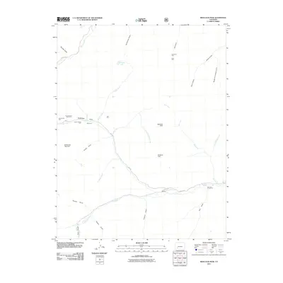
2011 Map of Redcloud Peak
USGS Topo · Published 2011About this map
Redcloud Peak and Sunshine Peak dominate this high-elevation landscape in Hinsdale County, where the legacy of early mining is etched into the steep gulches. A network of early industrial sites is clustered around Burrows Park, including the Burrows Park Group Mine, Bon Homme Mine, and the Seward County Mine. The settlement of Whitecross sits at the head of Grizzly Gulch, while the community of Sherman is located further south along the Lake Fork.
Find a feature on this map
37 named features on this map. Tap any name to fly to it.
Don’t see what you’re looking for? This feature index may not catch every label — zoom into the map to look around manually.
Map Details
Editions of this 2011 Redcloud Peak Map
This is the sole edition of this map. No revisions or reprints were ever made.
Other maps of this area

1897 · Silverton
USGS Topo · 1:62,500

1901 · Silverton
USGS Topo · 1:62,500

1902 · Silverton
USGS Topo · 1:62,500

1902 · Ouray
USGS Topo · 1:62,500

1903 · Lake City
USGS Topo · 1:62,500

1904 · Ouray
USGS Topo · 1:62,500

1905 · Lake City
USGS Topo · 1:62,500

1905 · San Cristobal
USGS Topo · 1:125,000

1907 · San Cristobal
USGS Topo · 1:125,000

1908 · Uncompahgre
USGS Topo · 1:125,000