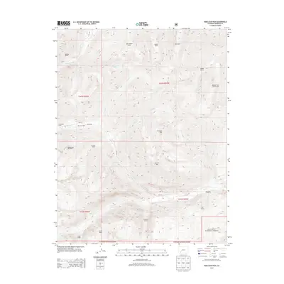
2013 Map of Redcloud Peak
USGS Topo · Published 2013About this map
Redcloud Peak and Sunshine Peak dominate this high-elevation landscape within the Gunnison National Forest. The map provides a detailed look at the drainage patterns of the Lake Fork, where several significant alpine gulches such as Grizzly Gulch and Cataract Gulch converge. The settlement of Sherman is located at the confluence of the Lake Fork and Cottonwood Cr, while the high-altitude site of Whitecross sits further west near Burrows Park. This area's mining and industrial history is hinted at through features like Lee Smelter Gulch and Boulder Gulch, which indicate the legacy of resource extraction in these steep mountain corridors. The remote character of the terrain is further evidenced by high-altitude water bodies like Cooper Lake and the winding course of Henson Cr in the northern reaches of the quadrangle.
Find a feature on this map
36 named features on this map. Tap any name to fly to it.
Don’t see what you’re looking for? This feature index may not catch every label — zoom into the map to look around manually.
Map Details
Editions of this 2013 Redcloud Peak Map
This is the sole edition of this map. No revisions or reprints were ever made.
Other maps of this area

1897 · Silverton
USGS Topo · 1:62,500

1901 · Silverton
USGS Topo · 1:62,500

1902 · Silverton
USGS Topo · 1:62,500

1902 · Ouray
USGS Topo · 1:62,500

1903 · Lake City
USGS Topo · 1:62,500

1904 · Ouray
USGS Topo · 1:62,500

1905 · Lake City
USGS Topo · 1:62,500

1905 · San Cristobal
USGS Topo · 1:125,000

1907 · San Cristobal
USGS Topo · 1:125,000

1908 · Uncompahgre
USGS Topo · 1:125,000