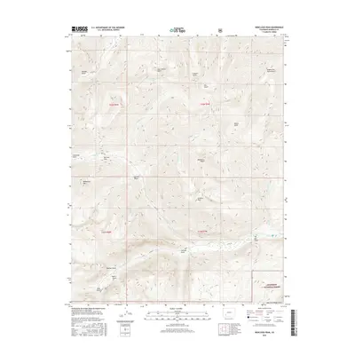
2016 Map of Redcloud Peak
USGS Topo · Published 2016About this map
Redcloud Peak and Sunshine Peak dominate this high-elevation landscape within the Gunnison National Forest. The terrain is defined by a dense network of steep drainages, including Cataract Gulch, Alpine Gulch, and Mill Gulch, all feeding into the Lake Fork and Henson Creek. These waters descend from remote basins like the one holding Cooper Lake near the summit of the continental divide.
Find a feature on this map
37 named features on this map. Tap any name to fly to it.
Don’t see what you’re looking for? This feature index may not catch every label — zoom into the map to look around manually.
Map Details
Editions of this 2016 Redcloud Peak Map
This is the sole edition of this map. No revisions or reprints were ever made.
Other maps of this area

1897 · Silverton
USGS Topo · 1:62,500

1901 · Silverton
USGS Topo · 1:62,500

1902 · Silverton
USGS Topo · 1:62,500

1902 · Ouray
USGS Topo · 1:62,500

1903 · Lake City
USGS Topo · 1:62,500

1904 · Ouray
USGS Topo · 1:62,500

1905 · Lake City
USGS Topo · 1:62,500

1905 · San Cristobal
USGS Topo · 1:125,000

1907 · San Cristobal
USGS Topo · 1:125,000

1908 · Uncompahgre
USGS Topo · 1:125,000