Loading...
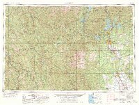
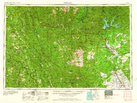
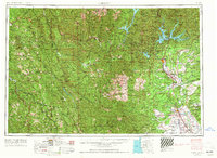
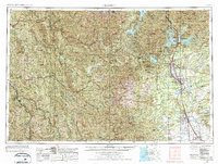
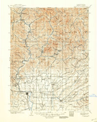
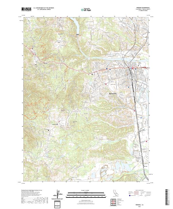
Loading map...1958 Map of Redding
USGS Topo · Published 1977About this map
The Sacramento River corridor anchors this mid-century look at Northern California, where the Southern Pacific RR and U.S. 99 connect the emerging regional hubs of Redding and Red Bluff. This was a pivotal era for water management and recreation in the North State, evidenced by the recently formed reservoirs of Shasta Lake, Trinity Lake, and Whiskeytown Lake. These massive engineering projects reshaped the geography of the Trinity National Forest and Shasta National Forest, creating new shorelines where mountains once stood.
Find a feature on this map
94 named features on this map. Tap any name to fly to it.
Don’t see what you’re looking for? This feature index may not catch every label — zoom into the map to look around manually.
Map Details
Date Portrayed1958
Date Published1977
PublisherU.S. Geological Survey
Map TypeTopographic
Scale1:250,000
Physical Dimensions29.04 x 21.9 inches
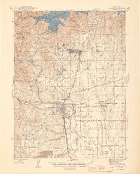
Editions of this 1958 Redding Map
5 editions found

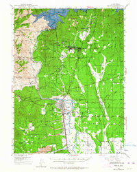
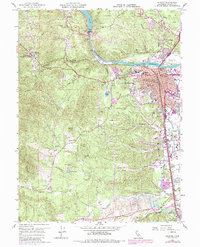
Historical Maps of Redding Through Time
10 maps found

Featured Locations
Source Details
SourceU.S. Geological Survey
CopyrightPublic Domain