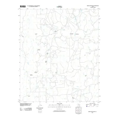
2010 Map of Reddy Mountain
USGS Topo · Published 2010About this map
Reddy Mountain and the surrounding high ground of Erath County define this terrain, where a network of seasonal creeks and localized springs supported generations of rural settlement. The drainage patterns of the South Fork Palo Pinto Creek and Rush Creek illustrate a landscape structured by water access, further evidenced by the presence of Cottonwood Spring and Rock Hole Spring. Genealogy-rich sites such as Tudor Cemetery and Jaybird Cemetery are preserved alongside modern infrastructure like Thurber Lake Number 4 Dam. Notable rocky landmarks including North Shelton Rock and McQuirt Mountain provide clear points of reference in an area marked by its complex local topography and dispersed ranching or homesteading history.
Find a feature on this map
31 named features on this map. Tap any name to fly to it.
Don’t see what you’re looking for? This feature index may not catch every label — zoom into the map to look around manually.
Map Details
Editions of this 2010 Reddy Mountain Map
This is the sole edition of this map. No revisions or reprints were ever made.
Other maps of this area

1890 · Stephenville
USGS Topo · 1:125,000

1890 · Breckenridge
USGS Topo · 1:125,000

1891 · Palo Pinto
USGS Topo · 1:125,000

1894 · Eastland
USGS Topo · 1:125,000

1918 · Palo Pinto
USGS Topo · 1:125,000

1920 · Stephenville
USGS Topo · 1:125,000

1954 · Abilene
USGS Topo · 1:250,000

1958 · Abilene
USGS Topo · 1:250,000

1959 · Gordon
USGS Topo · 1:62,500

1965 · Huckabay SW
USGS Topo · 1:24,000