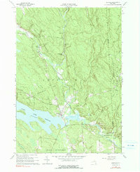
1960 Map of Redfield
USGS Topo · Published 1991About this map
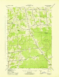
Redfield sits at the heart of this landscape, positioned where the Mad River and its multiple branches converge before feeding into the Salmon River Reservoir. The area is characterized by a significant transition from managed timberlands in the State Reforestation Area to the water-dominated geography of the reservoir, which features Huckleberry Island and Burdick Island. The presence of Myrtle Cem and the settlement at Otto Mills provides essential data points for genealogists tracking family locations in this part of Oswego County.
Find a feature on this map
42 named features on this map. Tap any name to fly to it.
Don’t see what you’re looking for? This feature index may not catch every label — zoom into the map to look around manually.
Map Details
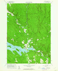
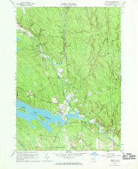
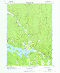
Editions of this 1960 Redfield Map
4 editions found
Other maps of this area

1903 · Orwell
USGS Topo · 1:62,500

1905 · Orwell
USGS Topo · 1:62,500

1905 · Taberg
USGS Topo · 1:62,500

1906 · Highmarket
USGS Topo · 1:62,500

1906 · Kasoag
USGS Topo · 1:62,500

1942 · Redfield
USGS Topo · 1:24,000
1943 · Boylston
USGS Topo · 1:31,680

1943 · Redfield
USGS Topo · 1:31,680

1943 · Westdale
USGS Topo · 1:31,680

1943 · East Florence
USGS Topo · 1:31,680