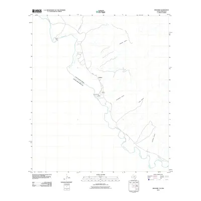
2010 Map of Redford
USGS Topo · Published 2010About this map
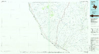
Redford and the settlement of Polvo anchor this remote section of Presidio County along the international border in the early 21st century. The Rio Grande serves as the dividing line between the United States and Mexico, winding through a landscape defined by deep drainages such as Bofecillos Canyon and El Calabazar Canyon. Local transportation is centered on FM 170, which follows the river's course, while Bofecillos Rd strikes north into the interior. Cultural landmarks like the Redford Cemetery and Polvo Crossing suggest a long history of trans-border movement and community life in this arid river valley. Further upstream, the Mulato Dam marks a point of water management on the river, situated near several significant desert washes including Auras Canyon and Las Burras Canyon.
Find a feature on this map
13 named features on this map. Tap any name to fly to it.
Don’t see what you’re looking for? This feature index may not catch every label — zoom into the map to look around manually.
Map Details
Editions of this 2010 Redford Map
This is the sole edition of this map. No revisions or reprints were ever made.
Other maps of this area

1896 · Polvo
USGS Topo · 1:125,000

1896 · Shafter
USGS Topo · 1:125,000

1959 · Presidio
USGS Topo · 1:250,000

1965 · Presidio
USGS Topo · 1:250,000
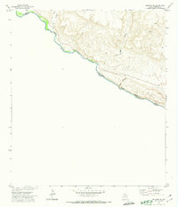
1971 · Redford SE
USGS Topo · 1:24,000
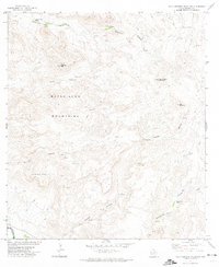
1971 · Agua Adentro Mountain
USGS Topo · 1:24,000
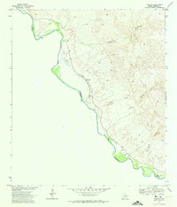
1971 · Redford
USGS Topo · 1:24,000

1979 · Presidio East
USGS Topo · 1:24,000

1983 · Cerro Redondo
USGS Topo · 1:24,000
1985 · Presidio
USGS Topo · 1:100,000