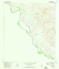
1971 Map of Redford
USGS Topo · Published 1974About this map
Redford sits along the limitrophe channel of the Rio Grande in Presidio County, serving as a vital border settlement where the desert mountains meet the river's green floodplain. Recorded just before the finalization of the Boundary Treaty of 1970, this survey captures the international line following the shifting river channel between Texas and Chihuahua. The map details the local infrastructure of the early 1970s, from the Po and Redford Cem to a nearby Landing Strip. The surrounding terrain is defined by dry washes and high peaks such as Bofecillos, with numerous unnamed wells and the Mulato Dam indicating the constant search for water in this arid reach. Traces of transit through the high country appear as a Jeep Trail winding through the canyons of Las Burras and Auras, illustrating the remote nature of the Big Bend region during this era.
Find a feature on this map
18 named features on this map. Tap any name to fly to it.
Don’t see what you’re looking for? This feature index may not catch every label — zoom into the map to look around manually.
Map Details
Editions of this 1971 Redford Map
2 editions found
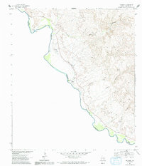
Other maps of this area

1896 · Polvo
USGS Topo · 1:125,000

1896 · Shafter
USGS Topo · 1:125,000

1959 · Presidio
USGS Topo · 1:250,000

1965 · Presidio
USGS Topo · 1:250,000
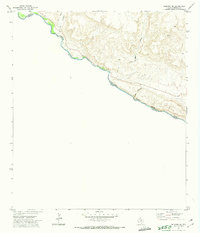
1971 · Redford SE
USGS Topo · 1:24,000
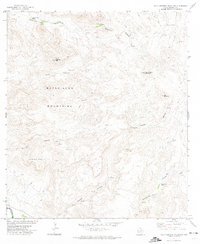
1971 · Agua Adentro Mountain
USGS Topo · 1:24,000

1979 · Presidio East
USGS Topo · 1:24,000

1983 · Cerro Redondo
USGS Topo · 1:24,000
1985 · Presidio
USGS Topo · 1:100,000
1985 · Redford
USGS Topo · 1:100,000