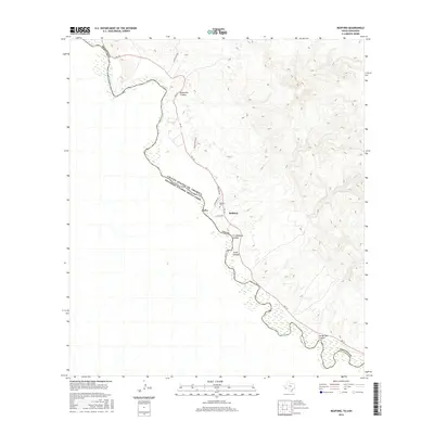
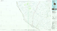
2016 Map of Redford
USGS Topo · Published 2016About this map
The Rio Grande serves as the international boundary on this Chihuahuan Desert landscape, dividing the United States and Mexico. The small settlement of Redford is the primary community on the American side, anchored by Redford Cem and the local road network. To the west, the label for Polvo marks a location along the riverbank connected by El Polvo Rd, reflecting the sparse but enduring settlement pattern of Presidio County.
Find a feature on this map
16 named features on this map. Tap any name to fly to it.
Don’t see what you’re looking for? This feature index may not catch every label — zoom into the map to look around manually.
Map Details
Editions of this 2016 Redford Map
This is the sole edition of this map. No revisions or reprints were ever made.
Other maps of this area

1896 · Polvo
USGS Topo · 1:125,000

1896 · Shafter
USGS Topo · 1:125,000

1959 · Presidio
USGS Topo · 1:250,000

1965 · Presidio
USGS Topo · 1:250,000
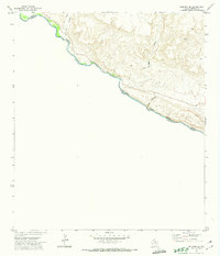
1971 · Redford SE
USGS Topo · 1:24,000
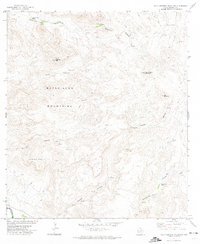
1971 · Agua Adentro Mountain
USGS Topo · 1:24,000
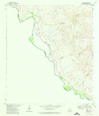
1971 · Redford
USGS Topo · 1:24,000

1979 · Presidio East
USGS Topo · 1:24,000

1983 · Cerro Redondo
USGS Topo · 1:24,000
1985 · Presidio
USGS Topo · 1:100,000