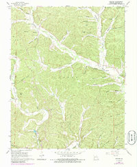
1968 Map of Redford
USGS Topo · Published 1985About this map
Redford and the surrounding Ozark woodlands of Logan and Webb townships are defined by a complex network of hollows and springs that feeding into Logan Creek and Sinking Creek. The area’s genealogical record is well-preserved through numerous family and community burial sites, including the Old Redford Cem, Durham Cem, and Price Cem. Spiritual life in these rural valleys is anchored by the Pleasant Hill Ch, Camelite Ch, and St Anne Ch. The landscape is notable for its water features, ranging from the Fish Hatchery and Pyrtle Spring to numerous upland ponds like Vinson Pond and Robinson Pond. This survey, originally conducted in the late 1960s with revisions in the early 1980s, captures the intersection of the Fifth Principal Meridian with a terrain of narrow valleys and ridges such as Round Hill.
Find a feature on this map
56 named features on this map. Tap any name to fly to it.
Don’t see what you’re looking for? This feature index may not catch every label — zoom into the map to look around manually.
Map Details
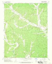
Editions of this 1968 Redford Map
2 editions found
Other maps of this area

1928 · Cardareva
USGS Topo · 1:62,500

1943 · Ellington
USGS Topo · 1:62,500

1943 · Lesterville
USGS Topo · 1:62,500

1944 · Corridon
USGS Topo · 1:62,500

1945 · Ellington
USGS Topo · 1:62,500

1946 · Lesterville
USGS Topo · 1:62,500

1947 · Corridon
USGS Topo · 1:62,500

1949 · Rolla
USGS Topo · 1:250,000

1949 · Cardareva
USGS Topo · 1:62,500

1953 · Rolla
USGS Topo · 1:250,000