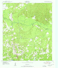
1950 Map of Redland
USGS Topo · Published 1950About this map
The Angelina River carves a serpentine path through the heart of the Piney Woods, serving as the boundary between Nacogdoches and Angelina counties. The landscape of the late 1940s is defined by a reliance on water and rail, with the Southern Pacific railroad corridor anchoring the settlements of Redland and Davisville. In this era, small community hubs like St Anns School and Davisville Ch provide vital social anchors for rural residents.
Find a feature on this map
42 named features on this map. Tap any name to fly to it.
Don’t see what you’re looking for? This feature index may not catch every label — zoom into the map to look around manually.
Map Details
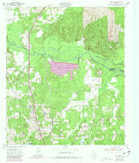
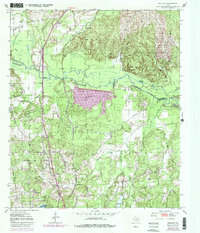
Editions of this 1950 Redland Map
4 editions found

Other maps of this area

1949 · Lufkin
USGS Topo · 1:62,500

1949 · Platt
USGS Topo · 1:24,000

1949 · Clawson
USGS Topo · 1:24,000

1949 · Lufkin
USGS Topo · 1:24,000

1949 · Huntington
USGS Topo · 1:24,000

1949 · Keltys
USGS Topo · 1:24,000

1950 · Platt
USGS Topo · 1:24,000

1950 · Keltys
USGS Topo · 1:24,000

1950 · Lufkin
USGS Topo · 1:24,000

1950 · Clawson
USGS Topo · 1:24,000