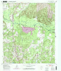
1950 Map of Redland
USGS Topo · Published 1981About this map
The Angelina River meanders across the center of this terrain, marking the boundary between Nacogdoches and Angelina Counties. In the mid-20th century, this landscape was defined by the industrial and community infrastructure of East Texas, notably the expansive Kurth Lake and its associated aqueduct and Pumping Sta. The eastern edge shows the rising waters of the Sam Rayburn Reservoir, which altered the drainage of Board Tree Slough and Hog Pen Lake.
Find a feature on this map
37 named features on this map. Tap any name to fly to it.
Don’t see what you’re looking for? This feature index may not catch every label — zoom into the map to look around manually.
Map Details
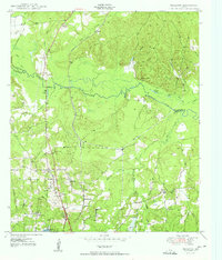
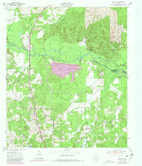
Editions of this 1950 Redland Map
4 editions found

Other maps of this area

1949 · Lufkin
USGS Topo · 1:62,500

1949 · Platt
USGS Topo · 1:24,000

1949 · Clawson
USGS Topo · 1:24,000

1949 · Lufkin
USGS Topo · 1:24,000

1949 · Huntington
USGS Topo · 1:24,000

1949 · Keltys
USGS Topo · 1:24,000

1950 · Platt
USGS Topo · 1:24,000

1950 · Keltys
USGS Topo · 1:24,000

1950 · Lufkin
USGS Topo · 1:24,000

1950 · Clawson
USGS Topo · 1:24,000