
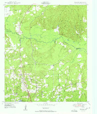
1950 Map of Redland
USGS Topo · Published 1950About this map
The Angelina River winds through the heart of this East Texas terrain, forming the natural boundary between Nacogdoches and Angelina counties. In the post-war years, the landscape was defined by its riparian lowlands, featuring complex water systems like Alazan Bayou, Loco Bayou, and the swampy reaches of Board Slough. The rural economy of the time is visible through the Southern Pacific rail line and the infrastructure of the Lufkin Water Plant.
Find a feature on this map
33 named features on this map. Tap any name to fly to it.
Don’t see what you’re looking for? This feature index may not catch every label — zoom into the map to look around manually.
Map Details
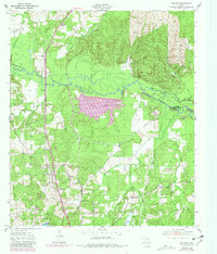
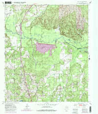
Editions of this 1950 Redland Map
4 editions found
Other maps of this area

1949 · Lufkin
USGS Topo · 1:62,500

1949 · Platt
USGS Topo · 1:24,000

1949 · Clawson
USGS Topo · 1:24,000

1949 · Lufkin
USGS Topo · 1:24,000

1949 · Huntington
USGS Topo · 1:24,000

1949 · Keltys
USGS Topo · 1:24,000

1950 · Platt
USGS Topo · 1:24,000

1950 · Keltys
USGS Topo · 1:24,000

1950 · Lufkin
USGS Topo · 1:24,000

1950 · Clawson
USGS Topo · 1:24,000