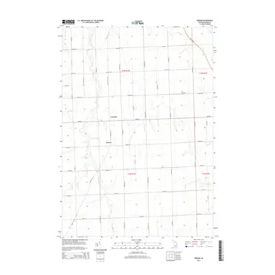
2014 Map of Redman
USGS Topo · Published 2014About this map
Lewisville and Redman serve as the primary focal points of this 2014 survey in the Thumb region of Michigan, where the landscape is meticulously organized into a grid of agricultural section lines and rural roads. The area's hydrology is dominated by the northern flow of Willow Creek, along with its tributaries including South Br Willow Cr and East Br Willow Cr, as they move toward the shoreline of Lake Huron visible in the northeast corner. This map reflects a deeply established farming community, evidenced by the high density of family-named roads like Marquardt Rd, Brining Rd, and Parisville Rd. Cultural landmarks such as the Marquardt Cem provide touchstones for local genealogy, while the courses of New River and Diamond Cr break the geometric precision of the township's section lines.
Find a feature on this map
42 named features on this map. Tap any name to fly to it.
Don’t see what you’re looking for? This feature index may not catch every label — zoom into the map to look around manually.
Map Details
Editions of this 2014 Redman Map
This is the sole edition of this map. No revisions or reprints were ever made.
Other maps of this area

1954 · Flint
USGS Topo · 1:250,000

1954 · Tawas City
USGS Topo · 1:250,000

1958 · Flint
USGS Topo · 1:250,000

1958 · Tawas City
USGS Topo · 1:250,000

1970 · Port Hope
USGS Topo · 1:24,000

1970 · Port Austin East
USGS Topo · 1:24,000

1970 · Kinde East
USGS Topo · 1:24,000

1970 · Redman
USGS Topo · 1:24,000

1970 · Huron City
USGS Topo · 1:24,000

1970 · Harbor Beach
USGS Topo · 1:24,000