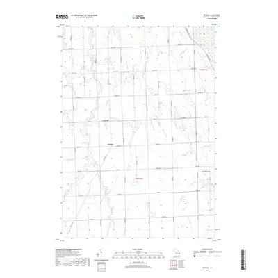
2019 Map of Redman
USGS Topo · Published 2019About this map
Lewisville and Redman serve as the primary community hubs in this agricultural section of Bloomfield Township during the late twenty-teens. The landscape is defined by a sophisticated network of managed waterways, including the Hartz Drain and Schmaltz Drain, which channel water toward the larger Willow Creek system. These features illustrate the intensive land management required to support farming in this part of Michigan's Thumb region. Local family names are etched into the geography through road names and landmarks like the Marquardt Cem, located near the intersection of Moeller Rd and Finkle Rd. The map detail captures a traditional rural grid system where drainage infrastructure such as the Bloomfield Sigel Drain and Iseler Drain is just as vital to the community's layout as the section-line roads that connect the scattered farmsteads.
Find a feature on this map
55 named features on this map. Tap any name to fly to it.
Don’t see what you’re looking for? This feature index may not catch every label — zoom into the map to look around manually.
Map Details
Editions of this 2019 Redman Map
This is the sole edition of this map. No revisions or reprints were ever made.
Other maps of this area

1954 · Flint
USGS Topo · 1:250,000

1954 · Tawas City
USGS Topo · 1:250,000

1958 · Flint
USGS Topo · 1:250,000

1958 · Tawas City
USGS Topo · 1:250,000

1970 · Port Hope
USGS Topo · 1:24,000

1970 · Port Austin East
USGS Topo · 1:24,000

1970 · Kinde East
USGS Topo · 1:24,000

1970 · Redman
USGS Topo · 1:24,000

1970 · Huron City
USGS Topo · 1:24,000

1970 · Harbor Beach
USGS Topo · 1:24,000