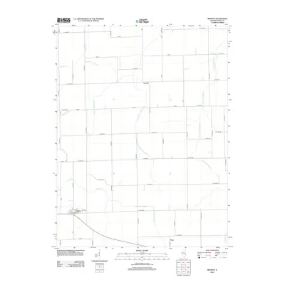
2012 Map of Redmon
USGS Topo · Published 2012About this map
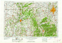
Redmon and its grid of residential streets like Oak St and Maple St anchor the southwestern corner of this agricultural landscape in Edgar County. The terrain is defined by a sophisticated network of managed waterways, including the Shiloh Special Drainage Ditch and Drainage Ditch Number 7, which coordinate with natural systems like the Little Embarras River and Catfish Creek. This integration of man-made and natural hydrology speaks to the intensive land-use patterns required for large-scale farming in the region.
Find a feature on this map
51 named features on this map. Tap any name to fly to it.
Don’t see what you’re looking for? This feature index may not catch every label — zoom into the map to look around manually.
Map Details
Editions of this 2012 Redmon Map
This is the sole edition of this map. No revisions or reprints were ever made.
Other maps of this area
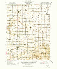
1946 · Kansas
USGS Topo · 1:62,500
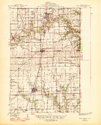
1947 · Ridge Farm
USGS Topo · 1:62,500
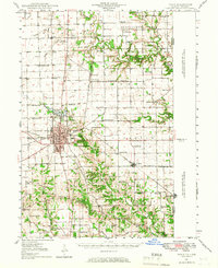
1947 · Paris
USGS Topo · 1:62,500
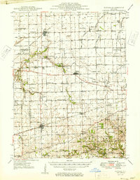
1949 · Kansas
USGS Topo · 1:62,500
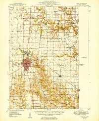
1949 · Paris
USGS Topo · 1:62,500

1953 · Indianapolis
USGS Topo · 1:250,000

1956 · Indianapolis
USGS Topo · 1:250,000
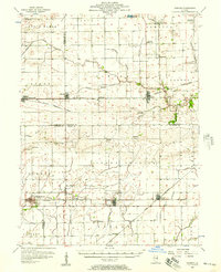
1956 · Newman
USGS Topo · 1:62,500
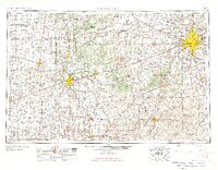
1957 · Indianapolis
USGS Topo · 1:250,000
1962 · Indianapolis
USGS Topo · 1:250,000