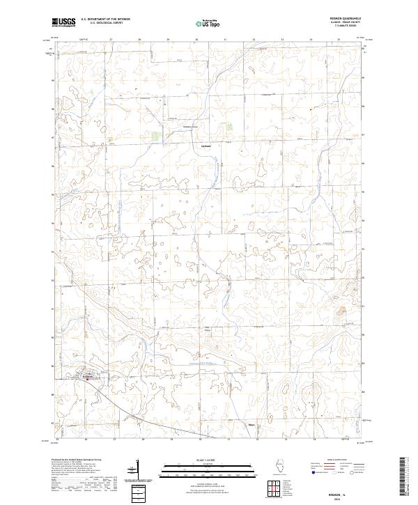
2024 Map of Redmon
USGS Topo · Published 2024About this map
The village of Redmon stands as a primary hub in this corner of Edgar County, where the agricultural grid is etched into the landscape by a series of numbered section roads and drainage systems. This area is defined by its water management, including the Shiloh Special Drainage Ditch and Shiloh Number 3 Drainage Ditch, which support the productivity of the surrounding prairie land. Small crossroads and clusters such as Garland, Pilot Grove, and Mulberry Grove dot the map, representing the historical distribution of farming communities in the region.
Find a feature on this map
50 named features on this map. Tap any name to fly to it.
Don’t see what you’re looking for? This feature index may not catch every label — zoom into the map to look around manually.
Map Details
Editions of this 2024 Redmon Map
This is the sole edition of this map. No revisions or reprints were ever made.
Other maps of this area

1946 · Kansas
USGS Topo · 1:62,500

1947 · Ridge Farm
USGS Topo · 1:62,500

1947 · Paris
USGS Topo · 1:62,500

1949 · Kansas
USGS Topo · 1:62,500

1949 · Paris
USGS Topo · 1:62,500

1953 · Indianapolis
USGS Topo · 1:250,000

1956 · Indianapolis
USGS Topo · 1:250,000

1956 · Newman
USGS Topo · 1:62,500

1957 · Indianapolis
USGS Topo · 1:250,000

1962 · Indianapolis
USGS Topo · 1:250,000