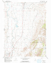
1966 Map of Redmond
USGS Topo · Published 1992About this map
The Sevier River meanders through the heart of the Sevier Valley in the mid-1960s, defining the agricultural landscape of Redmond and Axtell. This area, situated along the Sanpete and Sevier County line, is characterized by an extensive network of irrigation infrastructure including the Canal and various ditches that supported the local farming economy. A notable historical marker on this landscape is the Old Indian Treaty Boundary, which cuts horizontally across the terrain near the Salina-Gunnison Airport.
Find a feature on this map
26 named features on this map. Tap any name to fly to it.
Don’t see what you’re looking for? This feature index may not catch every label — zoom into the map to look around manually.
Map Details
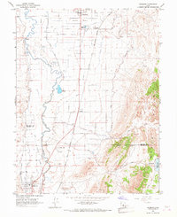
Editions of this 1966 Redmond Map
2 editions found
Other maps of this area

1885 · Manti
USGS Topo · 1:250,000

1885 · Fish Lake
USGS Topo · 1:250,000

1895 · Manti
USGS Topo · 1:250,000

1896 · Fish Lake
USGS Topo · 1:250,000

1956 · Salina
USGS Topo · 1:250,000

1956 · Price
USGS Topo · 1:250,000

1960 · Price
USGS Topo · 1:250,000

1960 · Salina
USGS Topo · 1:250,000

1962 · Salina
USGS Topo · 1:250,000

1962 · Price
USGS Topo · 1:250,000