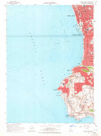
1963 Map of Redondo Beach
USGS Topo · Published 1965About this map
The south bay of Santa Monica Bay is defined here by the coastal expansion of Hermosa Beach and Redondo Beach in the early 1960s. The map captures the industrial and leisure infrastructure of the era, from the submarine pipelines and intake towers near King Harbor to the cluster of oil wells situated near Mira Costa HS. As the coastline transitions toward the Palos Verdes Peninsula, the topography shifts from the sandy shores of Clifton to the dramatic bluffs of Palos Verdes Point. Interior development shows the mid-century growth of Palos Verdes Estates and Rolling Hills Estates, where large recreational tracts like the Palos Verdes Country Club and Los Verdes Golf Course are already established alongside landmarks such as Marineland and the Pt Vicente Sch.
Find a feature on this map
60 named features on this map. Tap any name to fly to it.
Don’t see what you’re looking for? This feature index may not catch every label — zoom into the map to look around manually.
Map Details
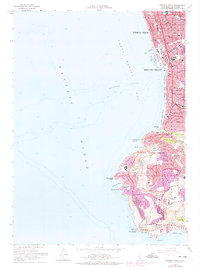
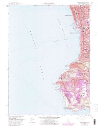
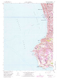
Editions of this 1963 Redondo Beach Map
4 editions found
Other maps of this area

1896 · Redondo
USGS Topo · 1:62,500

1896 · San Pedro
USGS Topo · 1:62,500

1901 · Southern California Sheet No. 1
USGS Topo · 1:250,000

1904 · Southern California Sheet No. 1
USGS Topo · 1:250,000

1924 · Torrance
USGS Topo · 1:24,000
1925 · San Pedro Hills
USGS Topo · 1:24,000
1928 · San Pedro Hills
USGS Topo · 1:24,000
1934 · Torrance
USGS Topo · 1:24,000
1942 · San Pedro Hill
USGS Topo · 1:24,000

1943 · San Pedro
USGS Topo · 1:125,000